- Home
- Magazines
-
Newsletters
- 19 July 2024
- 12 July 2024
- 5 July 2024
- 28 June 2024
- 14 June 2024
- 7 June 2024
- 31 May 2024
- 24 May 2024
- 17 May 2024
- 10 May 2024
- 3 May 2024
- 26 April 2024
- 19 April 2024
- 12 April 2024
- 22 March 2024
- 15 March 2024
- 8 March 2024
- 1 March 2024
- 23 February 2024
- 16 February 2024
- 9 February 2024
- 26 January 2024
- 19 January 2024
- 12 January 2024
- 22 December 2023
- 1 December 2023
- 24 November 2023
- 10 November 2023
- 3 November 2023
- 27 October 2023
- 20 October 2023
- 13 October 2023
- 6 October 2023
- 29 September 2023
- 22 September 2023
- 15 September 2023
- 8 September 2023
- 25 August 2023
- 18 August 2023
- 11 August 2023
- 4 August 2023
- 28 July 2023
- 21 July 2023
- 14 July 2023
- 7 July 2023
- 30 June 2023
- 23 June 2023
- 15 June 2023
- 2 June 2023
- 26 May 2023
- 19 May 2023
- 12 May 2023
- 5 May 2023
- 28 April 2023
- 21 April 2023
- 14 April 2023
- 6 April 2023
- 31 March 2023
- 24 March 2023
- 17 March 2023
- 10 March 2023
- 3 March 2023
- 24 February 2023
- 17 February 2023
- 10 February 2023
- 3 February 2023
- 27 January 2023
- 13 January 2023
- 22 December 2022
- 15 December 2022
- 9 December 2022
- 2 December 2022
- 25 November 2022
- 18 November 2022
- 11 November 2022
- 4 November 2022
- Advertising
- Subscribe
- Articles
-
Galleries
- AOSH Firexpo 2024
- Midvaal Fit to Fight Fire 2024
- WoF KNP 2023 Gallery
- TFA 2023 Gallery
- DMISA Conference 2023
- ETS 2023 Gallery
- Drager Fire Combat and Rescue Challenge 2023
- AOSH Firexpo 2023
- Midvaal Fit to Fight Fire
- WC IFFD 2023
- NMU 13th Fire Management Symposium 2022
- JOIFF Africa Conference 2022
- ETS 2022 Gallery
- TFA 2022 Gallery
- IFFD 2018
- SAESI
- TFA
- WRC 2018
- WRC 2019
- A-OSH/Securex
- IFE AGM 2019
- ETS Ind Fire Comp Nov 2019
- ETS Challenge 2021
- Drager launch
- Drager Fire Combat and Rescue Challenge 2022
- TFA
- Contact
Follow us
Technology: Fighting wildfires with satellite data in Tanzania
Just 10 years ago, authorities in Tanzania largely relied on networks of lookout towers to observe and manage fires across the country’s vast landscapes. Today, satellite data delivered through EUMETSAT’s multi-service dissemination system EUMETCast are helping local communities vastly improve fire management and suppression strategies.
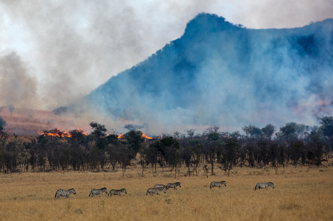
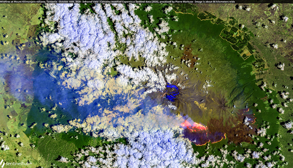
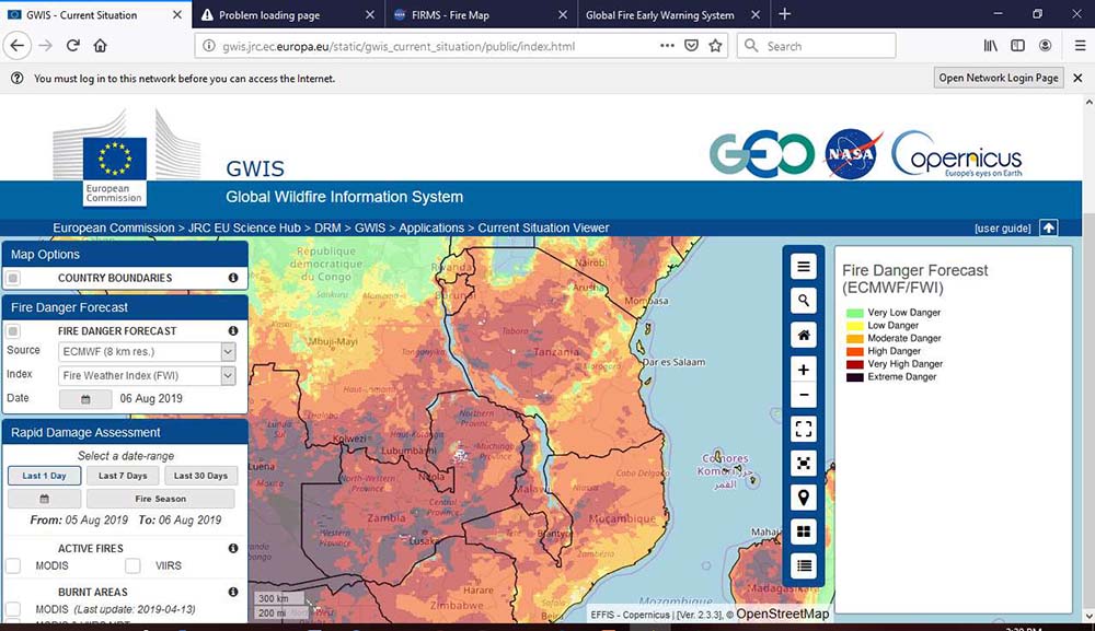
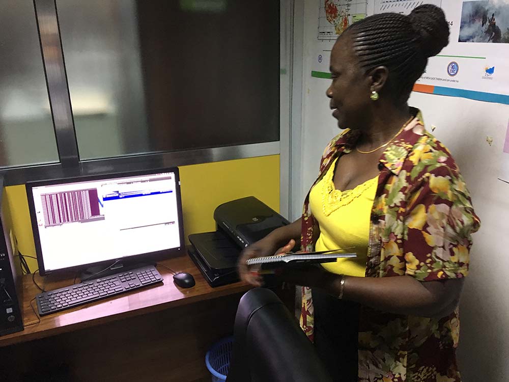
For hundreds of millions of years, wildfires have burned through forests, grasslands, savannahs, and other ecosystems. They are essential for the continued survival of many plant species and help keep some landscapes accessible to animal migrations. However, due to factors such as more droughts, higher temperatures and widescale habitat degradation, many parts of the world are experiencing increases in conditions conducive to hugely damaging, unwanted wildfires. In Tanzania, a wide range of initiatives and interventions have enabled the country to tackle these growing threats head-on. The country’s Ministry of Natural Resources and Tourism reports that despite growing challenges, average burnt areas caused by wildfires have been reduced by around 75 percent during the past decade. Since 2011, these efforts have been supported by near-real time products and services such as weather fire danger indices, which make use of meteorological satellite data distributed through EUMETCast, EUMETSAT’s multi-service dissemination system. Fire monitoring experts in the country explain that observing, tackling, and responding to wildfires is a hugely complex undertaking, requiring the combined efforts of a wide range of professionals working in forest and land management. Managing conservation initiatives Tanzania’s Serengeti National Park is home to one of the greatest annual migrations on Earth. Each year, around two million wildebeest, zebras, and gazelles gallop across the seemingly endless landscapes of grasslands, woodlands and estuaries, headed in the direction of the Maasai Mara reserve. Wildfires are an integral part of the dynamic savannah ecosystem. They help to keep its vistas open by suppressing the growth of thorny shrubs. They influence the composition, structure and patterns of vegetation. They also nourish the soils and shape the flows of water resources critical to ecosystem wellbeing. Yet pressures from human settlements on the edges of the reserve, such as the expansion of agriculture and pastures, have threatened to throw the Serengeti ecosystem off balance. Studies indicate that in past decades, animal migrations have been disrupted, soil fertility reduced and populations of some species have plummeted. “Ecosystems such as savannahs cannot exist without fire; wildfires are as essential as sun and water,” says Kekilia Kabalimu, a principal cartographer and geographic information system and remote sensing expert at the Tanzanian Ministry of Natural Resources and Tourism. “Satellite observations show savannah landscapes dependent on fires are seeing less of them. Settlements and farms are acting as firebreaks. Livestock are consuming vegetation that would otherwise burn, while the buildup of shrubs can lead to larger, unsustainable wildfires later on.” Diverse sets of satellite data delivered to users in Africa by EUMETCast support the coordination of conservation strategies. They facilitate ecological assessments of landscapes in the context of fire risk, detailed assessments of burned areas and provide near-real time information on fire activity. “These data are vital not only for managing fires where they are beneficial but suppressing wildfires where they are not,” Kabalimu explains. Fighting forest fires |
Quick navigation
Social
|
Who are we?FRI Media (Pty) Ltd is an independent publisher of technical magazines including the well-read and respected Fire and Rescue International, its weekly FRI Newsletter and the Disaster Management Journal. We also offer a complete marketing and publishing package, which include design, printing and corporate wear and gifts. |
Weekly FRI Newsletter |
© Copyright 2018 Fire and Rescue International. All Rights Reserved.


